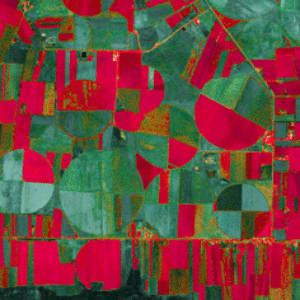
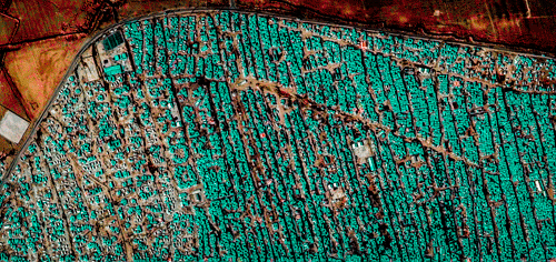
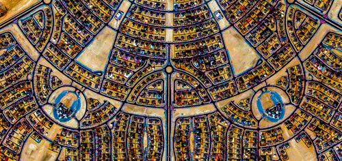
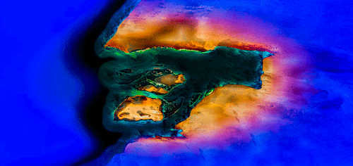


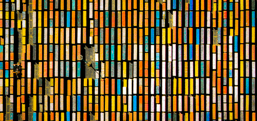
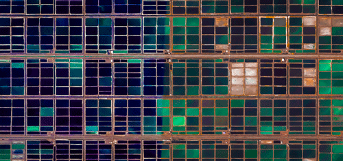
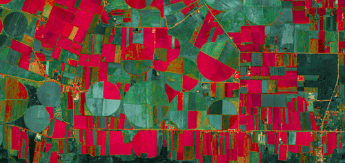

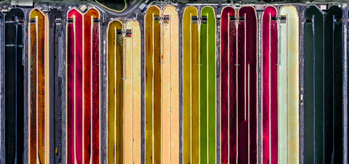
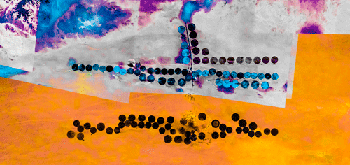
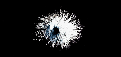
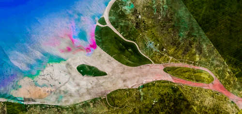
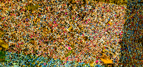
Based on the capabilities of Google Earth’s satellite camera, “ULTRADISTANCIA” features fifteen unconventional perspective of our planet. Neighborhoods, roads, mountains, stations, shipping containers, and houses turn into kaleidoscopic compositions. Enhanced through the digital interplay of color and luminosity, the series distorts our perception of the earth surface, where common landmarks resembles paintings and topography is visualized through a spectrum of color.
Metaphorical to endless travels from one corner of the earth to the next, Winer’s photography represents the encounter of natural and human creations as well as the crossbreed of both. Winer allows viewers to travel vicariously through Google Earth’s trips from airports to highways to famous cities. “ULTRADISTANCIA” reminds us of the existence of these places.
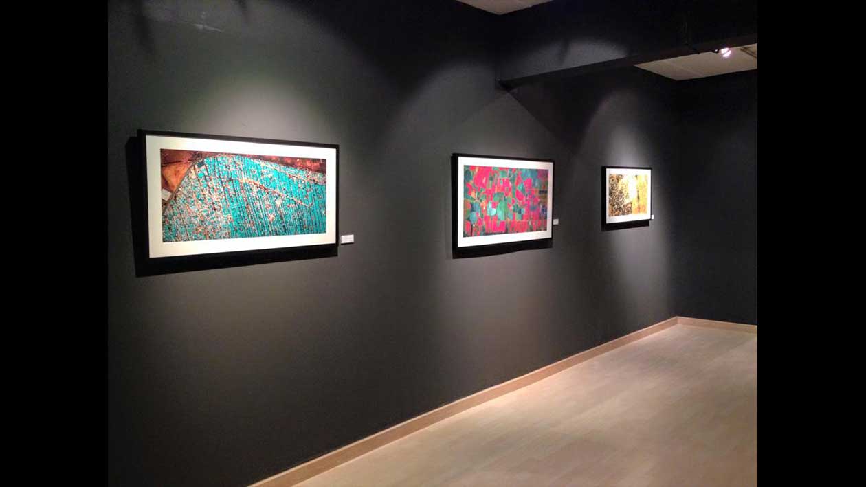
The acclaimed “ULTRADISTANCIA” series strikes the news with articles and reviews from prestigious media all over the world such as The Huffington Post, The Creators Project, Vice, La Reppublica, DesignBoom, Archdaily, Le Journal de Montreal, Forbes, Courrier International, PEI Magazine, Gizmodo, Pixable, Lens Culture, Art Slant, CO. Design, City Lab, 6sqft, Urbanophil, among others.